
The Reykjanes Peninsula by car
Last updated: 8 November 2026
Prepared by Ring Road Cars at Keflavík Airport and checked against the official sources listed at the end of this page.
Short answer
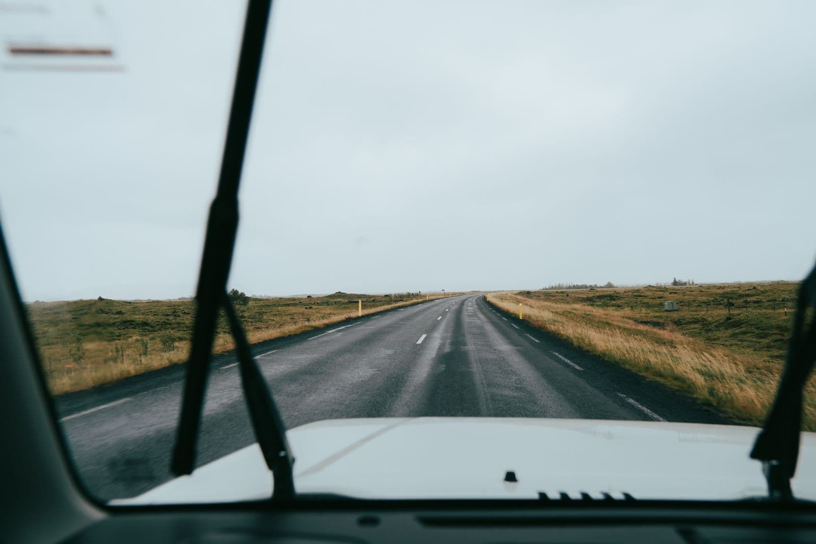
The Reykjanes Peninsula is the land around Keflavík Airport. A loop of about 135 km, paved all the way, takes in the Bridge between Continents, the Reykjanesviti lighthouse and Gunnuhver, Brimketill, Grindavík, and Seltún and Kleifarvatn on Route 42. The Blue Lagoon is 23 km from the airport. Volcanic activity can close roads at short notice, so before you set off, check the Met Office's hazard map, umferdin.is and safetravel.is — and never drive off the road toward an eruption.
The loop, stop by stop
The whole peninsula is the Reykjanes UNESCO Global Geopark: lava fields, sea cliffs and geothermal areas, starting right next to the airport. Driven counter-clockwise from Keflavík Airport:
- Hafnir and the Bridge between Continents: take Reykjanesbraut (Route 41) and Hafnavegur (44) to the old fishing village of Hafnir, then Nesvegur (425) south along the coast. At Sandvík, a footbridge crosses a fissure where two tectonic plates are pulling apart; it was built in 2002 as a symbol of the link between Europe and North America.
- Reykjanesviti and Gunnuhver: at the southwestern tip, road 443 leads to Reykjanesviti, a lighthouse built in 1907–1908 after earthquakes and surf damaged Iceland's first lighthouse on the nearby cliff Valahnúkur. Gunnuhver, a field of steaming mud pools on Nesvegur close to the lighthouse, has two viewing platforms.
- Brimketill: on Nesvegur west of Grindavík, a pool carved by the sea into the lava shore. The viewing platform is a few steps from the car park.
- Grindavík: the fishing town on the south coast. Check its current status before you go (see the section on volcanic activity below).
- Krýsuvík, Seltún and Kleifarvatn: drive east on Suðurstrandarvegur (427), then north on Krýsuvíkurvegur (42). At Krýsuvík, a boardwalk leads through Seltún, a geothermal area of mud pots and steam vents. Further north, the road passes Kleifarvatn, the largest lake on the peninsula.
- Back: Route 42 meets Reykjanesbraut (41) near Hafnarfjörður. From there it is 36 km back to the airport, or 14 km to Reykjavík.
The Blue Lagoon, the geothermal spa at Svartsengi, is 23 km from the airport on Routes 41 and 43, and 6 km from Grindavík. It lies close to the eruption area: in November 2024, lava crossed Route 43 and reached its car park. If you have booked a visit, check the Blue Lagoon's own announcements and umferdin.is before you drive.
Distances and driving times
These are the official road distances from Vegagerðin, the Icelandic Road and Coastal Administration (distance tables, in Icelandic). Vegagerðin shows every leg below as paved.
| Leg | Main roads | Distance |
|---|---|---|
| Keflavík Airport → Reykjanesviti | 41, 44, 425 | 30 km |
| Reykjanesviti → Grindavík | 425, 43 | 19 km |
| Grindavík → Krýsuvík → Route 41 | 427, 42 | 50 km |
| Route 41 at road 42 → Keflavík Airport | 41 | 36 km |
| Route 41 at road 42 → Reykjavík | 41, 40 | 14 km |
| Keflavík Airport → Blue Lagoon | 41, 43 | 23 km |
| Blue Lagoon → Reykjavík | 43, 41 | 48 km |
| Keflavík Airport → Reykjavík | 41, 40 | 50 km |
| Keflavík Airport → Grindavík | 41, 43 | 26 km |
Added up, the loop is 135 km from Keflavík Airport and back, or 113 km if you finish in Reykjavík. At 90 km/h, the highest speed limit in Iceland, that is at least 90 minutes of driving before any stops. Distances start at the airport terminal; our office at Bogatröð 1 is about 10 minutes away by shuttle.
Stay on the paved roads
Navigation apps don't always show closed or impassable roads. Between Route 42 and Grindavík, an app may suggest Vigdísarvallavegur (road 428) as a shortcut: Vegagerðin's tables show 24 km of gravel on that route. Stay on 42 and 427, which are paved all the way.
Volcanic activity: check before you drive
Since 2021 the peninsula has had a series of eruptions: at Fagradalsfjall in 2021, 2022 and 2023, then nine on the Sundhnúkur crater row, north-east of Grindavík, between December 2023 and August 2025. Lava has crossed roads: in November 2024 it flowed over Grindavíkurvegur (Route 43) and reached the Blue Lagoon's car park.
This page can't tell you today's situation
Eruptions can start with little warning: before earlier eruptions on the crater row, the warning time ranged from about 20 minutes to just over four hours. Roads near an eruption can close at short notice. Check the sources below on the day you drive, and again before you head to the airport.
Before you drive:
- Icelandic Met Office: the news and alerts for the Reykjanes Peninsula and the hazard map for the area around Svartsengi and Grindavík. During an eruption, it also publishes a gas dispersion forecast.
- Civil Protection: almannavarnir.is has the latest on the peninsula and on Grindavík.
- Roads: umferdin.is shows closures. A closed road is closed: turn back. Driving a closed road breaks our rental terms, no waiver covers the damage, and the €1,000 prohibited-road fee may apply (rental terms 16 and 40(g)).
- Travel alerts: safetravel.is and its page on the Reykjanes eruption area.
Near an eruption site:
- Never drive off the road to get closer. Off-road driving is illegal in Iceland. Under our rental terms it costs €1,000 (40(f)), and no waiver covers the damage (16).
- Park only in marked car parks and walk only on marked trails. The car parks at the trailheads to the eruption sites charge a fee, paid through Parka; follow the signs, and see Visit Reykjanes.
- Never walk on new lava, and keep well back from the edge of a lava field: the crust can break, and glowing lava can surge out without warning.
- Gas can reach dangerous levels near an eruption site and collect in low ground in calm weather. If you feel symptoms, leave the area.
Grindavík
The town was evacuated in November 2023, and access has been restricted at times since then. Check its status with Civil Protection before you drive in. In town, stay on paths — there can be crevasses — and note the marked escape routes. If the alarm sounds, leave.
On your first or last day
- After an overnight flight, rest first. Safetravel warns that jet lag, sleepiness and fatigue can last a few days after you land, especially after an overnight flight from America. On the day you arrive, keep the drive short — Reykjavík is 50 km from the airport and the Blue Lagoon 23 km — and save the loop for when you are rested. On any drive, stop at least every 100 km or so, and take turns at the wheel if you can.
- Before a later flight, the loop is 135 km: at least 90 minutes of driving. Leave a margin, because a road closure can mean a long detour. Grindavík to the airport, for example, is 26 km on Route 43 but 42 km on the coast road, Nesvegur.
- Returning the car: we are open 04:00–18:00. Bring the car back full, refueled within 5 km of our office, or we charge the missing fuel plus the €30 refueling fee (rental terms 11 and 40(j)). Plan to reach us at least 30 minutes before you want to be at the terminal; the shuttle ride takes about 10 minutes. Outside opening hours, a return is possible only on request, agreed in advance (€75, shuttle included; rental terms 40(b)).
- In winter, allow extra time for the drive back and check umferdin.is before you leave.
Safety and parking at the stops
- Brimketill: waves can almost reach the car park, and strong gusts can come without warning. Keep hold of children on the viewing platform.
- Bridge between Continents: new cracks have formed or reopened near the bridge, and subsidence and sinkholes have been seen. Stay on the marked paths and away from cracks and edges.
- Valahnúkur, by the lighthouse: steep sea cliffs, fractures in the rock and a risk of rockfall, especially near the edge. Follow the signs and take extra care in bad weather.
- Gunnuhver and Seltún: boiling mud and steam. Stay on the viewing platforms and the boardwalk; the nature around them is delicate.
- Stop only in car parks, never on the road or its shoulder for a photo.
- In an emergency, call 112.
Some car parks on the peninsula charge a fee, and charges change, so follow the signs and pay on the spot. If an unpaid fee reaches us, we pass it on to you or have it issued to you directly, and charge our €10 processing fee (rental terms 22 and 40(i)). More in Tolls & parking.
The peninsula in winter
- Wind: Reykjanesbraut and the coast roads cross open, treeless lava fields. Check the warnings on vedur.is, and on umferdin.is the wind measured at weather stations along the roads. In winter, the road map is updated from 07:00 to 22:00; outside those hours, conditions can change before the map shows it.
- Snow and ice: strong wind, snow and drifting snow can make driving difficult, even dangerous, when the road looks clear. If conditions get worse, wait in a safe place until they improve.
- Doors: in strong wind, park facing into the wind and hold the doors firmly (rental terms 18). See Wind & car doors.
- Short days: around the December solstice, Reykjavík gets only about four hours of daylight.
- Tires and drive: every car has winter tires from 1 November to 14 April at no extra charge (rental terms 1). From November to March we strongly recommend AWD or a 4×4: it helps you get going in snow, but it does not stop a skid on ice.
- Car trouble: for a breakdown, a flat tire or a car stuck in snow, call us day or night on +354 779 9499. See Accident & breakdown.
Which car you need
Every road on the loop is paved, and so are Routes 41 and 43 to Reykjavík, Grindavík and the Blue Lagoon.
- Summer: any of our cars handles the loop. For one or two people, Everyday is enough.
- November to March: every car has winter tires, and we strongly recommend AWD or a 4×4; Comfort (AWD) is our default winter pick.
- Six or more people: Family & Space has 9 seats including the driver, on a standard category B license.
More help: Which car do I need in Iceland? and Winter car rental in Iceland.
Questions about driving the Reykjanes Peninsula
How long is the Reykjanes Peninsula loop?
About 135 km from Keflavík Airport and back, past the Bridge between Continents, Reykjanesviti, Brimketill, Grindavík, Krýsuvík and Kleifarvatn, or 113 km if you finish in Reykjavík. Every leg is paved. At 90 km/h it is at least 90 minutes of driving, before any stops.
Is it safe to drive on the Reykjanes Peninsula with the volcanic activity?
Conditions change, so check on the day. Before you drive, look at the Icelandic Met Office's news and hazard map, Civil Protection (almannavarnir.is), umferdin.is for road closures and safetravel.is for alerts. Eruptions on the Sundhnúkur crater row have started with as little as about 20 minutes' warning, and roads near an eruption can close at short notice. Never pass a closure, and never drive off the road.
Can I drive to see the lava or an eruption?
Only on open roads to marked car parks, and from there on foot along marked trails. Off-road driving is illegal in Iceland and, under our rental terms, costs €1,000. Never walk on new lava or go near its edge, and leave the area if the gas gives you symptoms. The trailhead car parks for the eruption sites charge a parking fee.
Can I visit Grindavík?
Check its status first: the town was evacuated in November 2023, and access has been restricted at times since then. Civil Protection (almannavarnir.is) and the Met Office's hazard map have the current information. In town, stay on paths, note the marked escape routes and leave if the alarm sounds.
How far is the Blue Lagoon from Keflavík Airport?
23 km on Routes 41 and 43, and 48 km from the Blue Lagoon on to Reykjavík, all paved. The lagoon is close to the eruption area, and in November 2024 lava reached its car park, so check its own announcements and umferdin.is before you go.
Can I drive the loop on the day I land, or before my flight home?
After an overnight flight, rest first: Safetravel warns that jet lag and sleepiness can last a few days. On your last day you can drive it before a later flight if you leave a margin: allow at least 90 minutes of driving plus your stops, return the car full, refueled within 5 km of our office, and reach us at least 30 minutes before you want to be at the terminal. In winter, allow extra time.
Official sources
The facts on this page come from these sources (checked 8 November 2026):
- Distances between places (in Icelandic) — Vegagerðin
- Keflavík to Grindavík: three routes and their gravel (in Icelandic) — Vegagerðin
- Reykjanes Peninsula: news and alerts — Icelandic Met Office
- Hazard map for the Reykjanes Peninsula — Icelandic Met Office
- Situation on the Reykjanes Peninsula (warning times) — Icelandic Met Office
- The ninth eruption on the Sundhnúkur crater row has ended (2025) — Icelandic Met Office
- Eruption updates, November–December 2024 — Icelandic Met Office
- Gas dispersion forecast — Icelandic Met Office
- Reykjanes Peninsula — Civil Protection (Almannavarnir)
- Eruption area Reykjanes — Safetravel
- Travel conditions and alerts — Safetravel
- Fatigue and drowsiness — Safetravel
- How to drive in Iceland — Safetravel
- Winter driving — Safetravel
- When the road map is updated — umferdin.is (Icelandic Road and Coastal Administration)
- Weather warnings — Icelandic Met Office (vedur.is)
- The Reykjanes Peninsula — Visit Iceland
- Reykjavík through the seasons (daylight) — Visit Iceland
- Bridge between Continents — Visit Reykjanes
- Reykjanes lighthouse — Visit Reykjanes
- Safety improvements at Valahnúkur (2026) — Visit Reykjanes
- Gunnuhver — Visit Reykjanes
- Brimketill — Visit Reykjanes
- Krýsuvík and Kleifarvatn — Visit Reykjanes
- Seltún — Visit Reykjanes
- The Blue Lagoon — Visit Reykjanes
- Grindavík: evacuation and reopening — Visit Reykjanes
- Hiking and parking at the eruption sites — Visit Reykjanes
- Off-road driving is prohibited — Ísland.is (Nature Conservation Agency)
- Rental terms — Ring Road Cars